
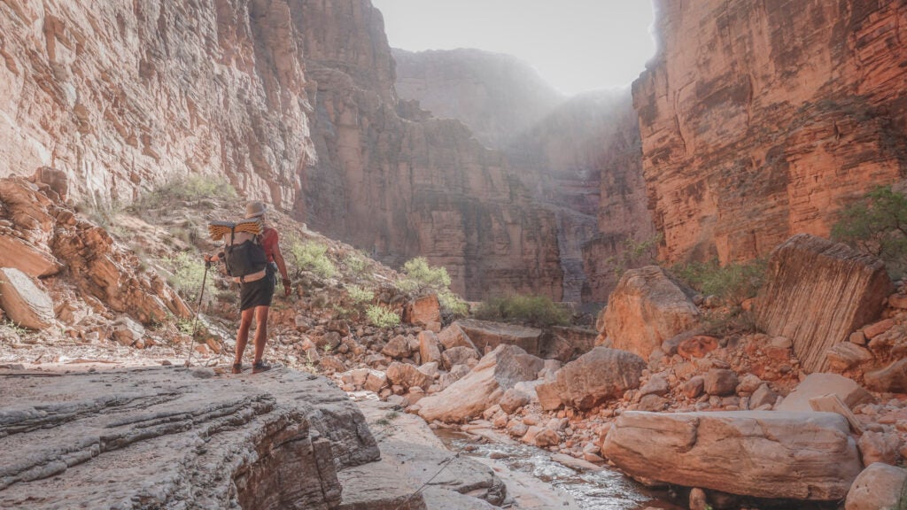
On August 22, 2024, Chenoa Nickerson was hiking near Havasu Creek in the Grand Canyon when a heavy rain event triggered a flash flood on the waterway and swept her away. For three days, first responders from the National Park Service and local residents from the Havasupai reservation searched for Nickerson by foot and boat. They came up short until August 25, when a commercial rafting group found her body 19 miles downstream from where she had disappeared.
Flash floods are a perennial hazard across the canyon country of the southwestern U.S. Upstream storms can turn normally placid creeks into torrents in a matter of minutes and the steep topography offers little chance of a quick escape. Now, a new government service from the U.S. Geological Survey that sends flood warnings to hikers in backcountry areas of the Grand Canyon via their satellite communicators aims to help visitors avoid them—and it could be coming to other remote destinations next.
Developed in collaboration with Coconino County Emergency Management, the National Weather Service and NPS, the Grand Canyon River Alert System will text users alerts about flash floods, searches for missing visitors, boating hazards, and “critical streamflow-related operations for the Colorado River.” To sign up for the free service, hikers can text GCRIVERALERTS to 928-707-7842 via the satellite messenger they want to use. (Visitors within cell service can receive the alerts by text message, but that won’t reach most areas below the rim.)
“Information about impending flash floods, debris flows or boating hazards have not previously been accessible to backcountry visitors in Grand Canyon,” Tom Gushue, a USGS GIS coordinator, said in an emailed statement. “This warning system provides National Weather Service or Park Service alerts ahead of events, so that visitors can respond accordingly.”
While the Grand Canyon River Alert System should increase visitors’ access to essential safety alerts, it’s likely that some spots in the park will still be beyond their reach. While communicators can still receive and send messages in many deep canyons, narrow slots often don’t have enough exposure to the sky for the devices to connect with the satellites they depend on.
“This new alert system provides a critical communication link in remote areas, giving backcountry users timely information about flash floods or other hazards they may encounter,” Ed Keable, superintendent of Grand Canyon National Park, said in the emailed statement. “At the same time, no technology replaces the need for personal preparation and situational awareness. Visitors should always research their route, understand the risks, and be ready to adapt when conditions change.”
While the system was designed specifically for the Grand Canyon, the USGS said that land managers could theoretically use it in the future to share important information with hikers or recreationists in most remote backcountry areas.
The post Flash Floods Turn Deadly Fast. This New Tool Could Help Hikers Avoid Them appeared first on Backpacker.